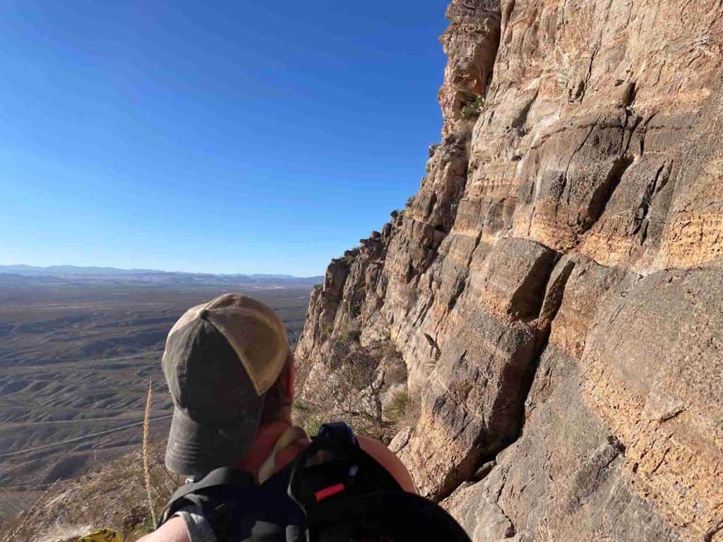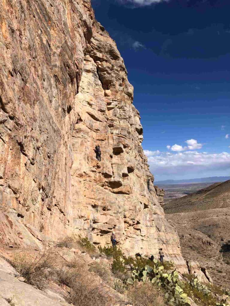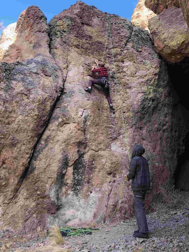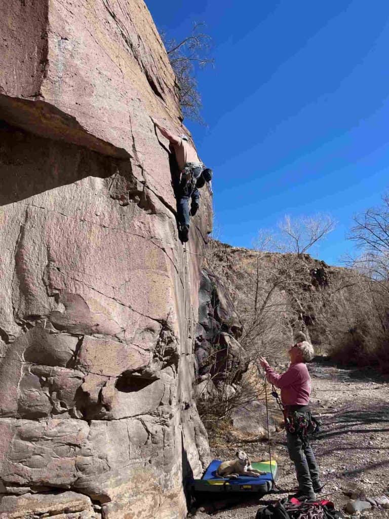
Photos and content by guest writer Jessica Griffin, a local adventurer and rock climber who loves living in and exploring Sierra County.
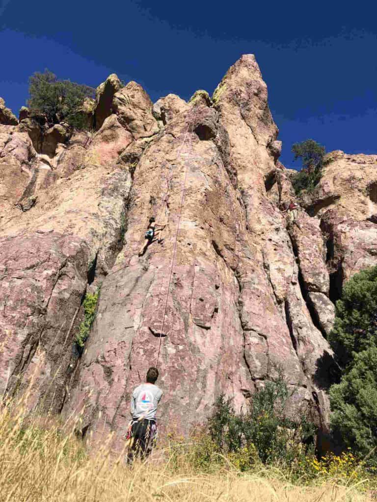
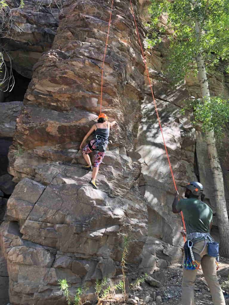
Sierra County is home to a few different rock climbing crags, all within an hour of Truth or Consequences. The climbing here is great and the landscape is truly magnificent. Please be conscious of artifacts and your impact on the area. Make sure to pack out any trash that you create, including toilet paper. Enjoy our area and spread the word. We are glad you’re here!
The Bat Cave, Caballo Mountains
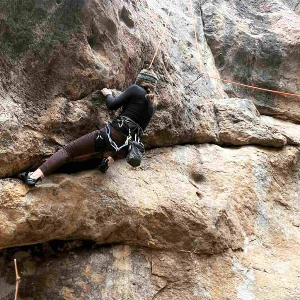
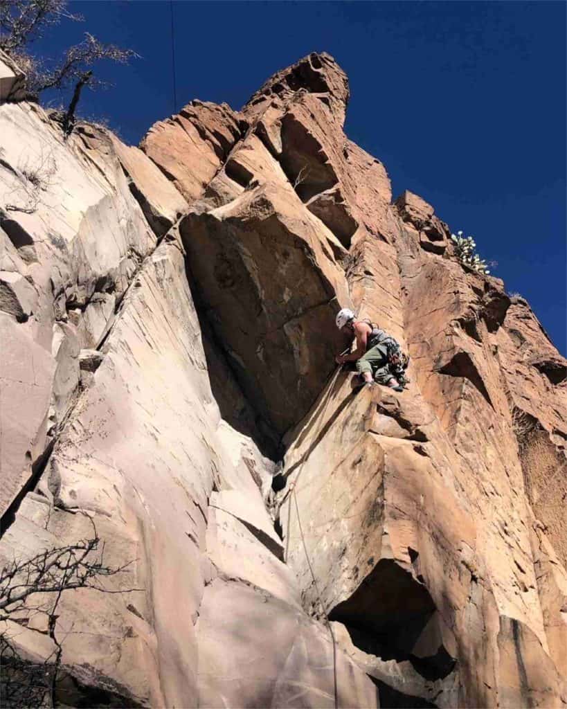
This picturesque multi- and single-pitch sport climbing area has climbs rated from 5.6 to 5.13 on mostly west-facing limestone cliffs. High clearance vehicles and four wheel drive are required to reach the end of the road that approaches these climbs. Dispersed camping is available at the site. There are nearby mine claims and visitors should take care to stay on public land when visiting The Bat Cave.
Directions (adapted from Mountain Project):
From I-25, take Exit 59. If coming from the north, turn right (southwest) at the exit onto highway 187 and drive for 2.7 mi. Take a left onto W. Wagoneer Rd. and drive for 1.1 mi. Take a left onto Sugar Sand/Tumbleweed Rd. for 0.7 mi. Veer right onto dirt for 0.2 mi. Take a left at “T”, drive under highway in single lane tunnel for 2.6 miles to fork at the dam. From the dam, continue for about 3.5 miles to the rough “4×4” road (sometimes a rock cairn here.) Turn right onto this rocky track and go about .7 miles to a rutted hill–this section requires “Subaru” clearance but isn’t too bad. Bear left on the fork at .9 miles, continue to the final fork at 1.5 miles and go right. This is a good “low clearance” camp option. Continue past a few ruts to the final hill (another parking option) and go up this to the final “T” at 1.9 miles. This is the best parking spot instead of the end of the road since several cars can park here. Walk or drive east up to the high camp. The road ends just beyond the high camp and is the access to Gotham City. The main trail to all the other crags begins from the north end of the “High Camp”. Hiking to the high camp and using this less steep trail is more sustainable than the steep trail which starts at the end of the other road beyond that final parking “T”.
Mud Mountain, Truth or Consequences
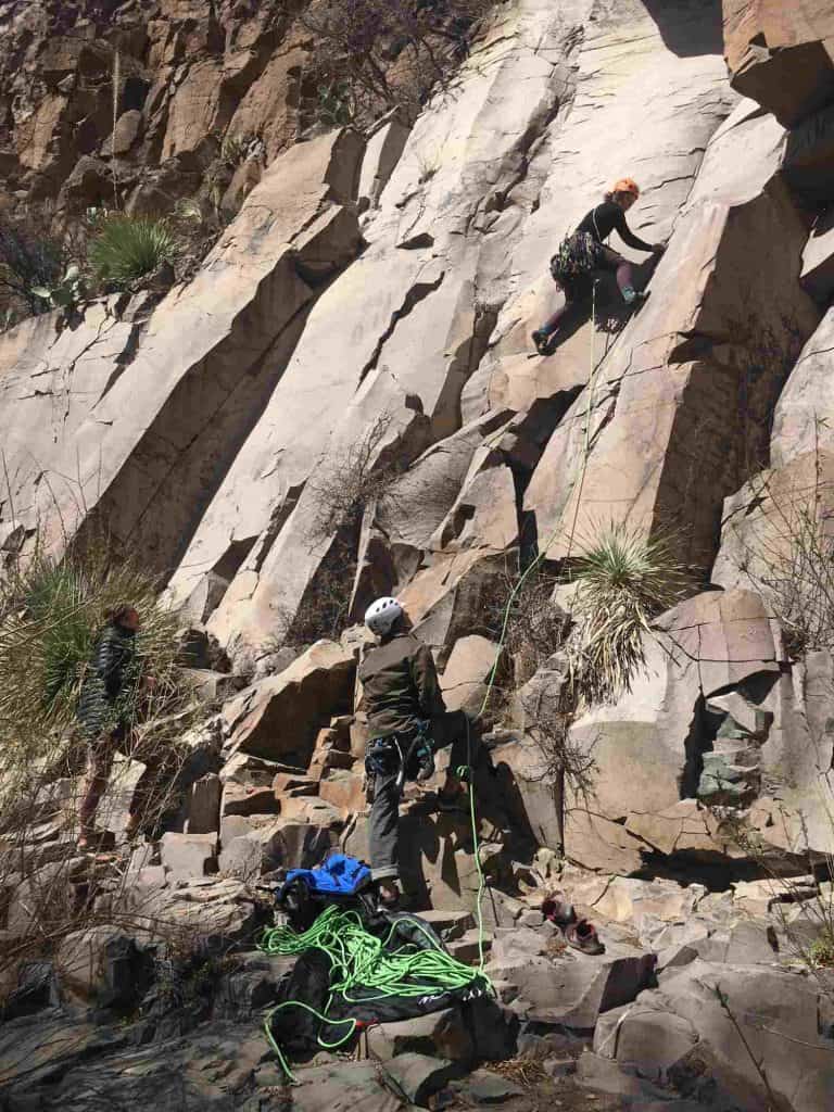
This fairly new crag is a sport climbing gem on variably sharp limestone. Single pitch routes are found on four separate walls with lots of winter sun and are rated from 5.8 to 5.12. Climbs are all very well-bolted with user-friendly anchors and plaques at the base of each climb with names and ratings. Since this area is new, some climbs still have loose rock and care should be taken to protect people at the base of the cliffs. High clearance and possibly four wheel drive is necessary to access this climbing area. Dispersed camping is readily available around this public-land gem, but care should be taken in arroyos during rainy months. The approach hike to Mud Mountain is strenuous.
Directions (adapted from Mountain Project):
Take Exit 75 for Williamsburg from I-25 which will put you on S. Broadway. Continue past the second gas station on the left and look for a solar panel field on the left and the Sierra County fairgrounds a bit further on the left. At the point where you see the Williamsburg Village offices on the right along with a street sign for Mona Avenue, turn left into what looks like an empty lot. You’ll see a road in that lot that leads towards the fairgrounds for a moment and then bears left. At the t-junction a few minutes further along the dirt road, go left. (Note the junction for your return trip when you’ll make a right to get back to Broadway. You’ll see a street sign for Mesquite Lane on your left that marks your turn.) As you go under the interstate, set your odometer to 0. Head up over the dam, and at 1.4 miles (or 1.3 miles on some odometers), turn right into a large arroyo. A cairn marks that turn. Be sure to follow the visible tracks in the arroyo and continue for .5 (or .6) mile where you’ll see a two track road on your left that heads up on to the mesa. Follow that road to the water tank and park here (unless you have high clearance 4 wheel drive, and can park at the upper parking). This point is 2.9 miles from where you set your odometer. Walk to the end of the road and follow the cairns to the wall.
Luna Park, Red Rock Arroyo
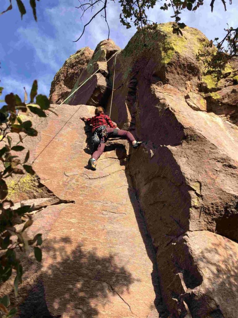
This is a well-established climbing area just south of the San Mateo Mountains with many trad, sport, and mixed climbs on rhyolite. Ratings are from 5.6 to 5.12. This area can be accessed with a higher clearance vehicle. 4X4 is not currently required, but that may be weather dependent. Luna Park is an excellent camping area, with a pit toilet, established campsites, and picnic tables. Bring plenty of water and make sure you leave this place better than you found it. Please respect the ancient rock drawings found here.
Directions:
From I-25, take exit 83, and head north on NM181/NM-52. Turn left onto NM-52N, follow for 2 miles, then turn right onto NM-142. Follow this road through Monticello, turn right on Forest Service Road #139, then left onto Forest Service Road 225.
